What We Do
Smart Geo-AI Solutions for Sustainable Water Management
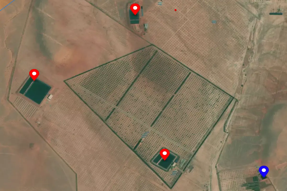
Irrigation Pools Monitoring
Our AI-powered satellite detection precisely identifies and tracks every irrigation pool across Morocco, providing accurate geolocation data and comprehensive consumption analytics. Provincial authorities gain real-time insights for effective agricultural water management and optimization strategies.
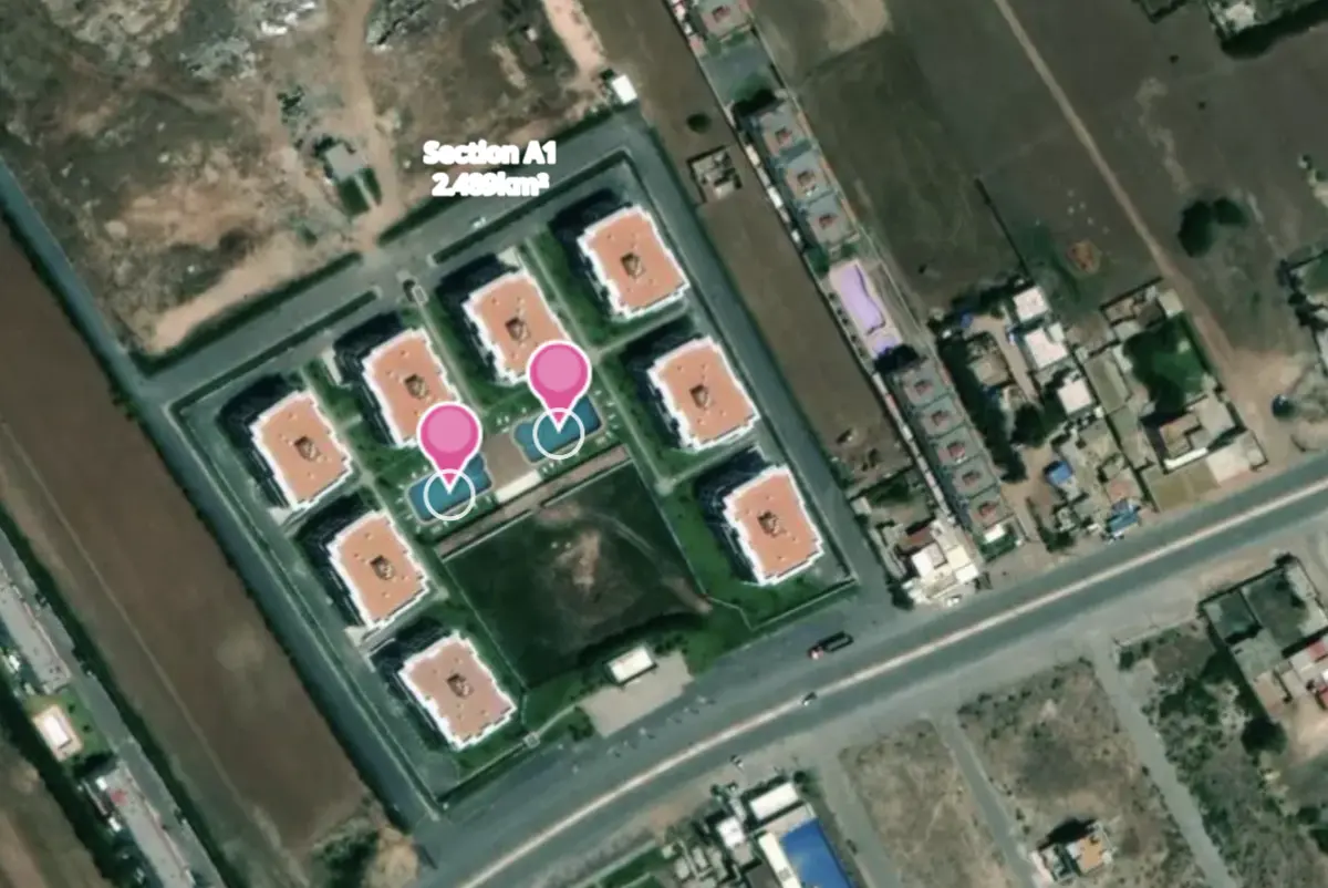
Swimming Pools Monitoring
Our advanced detection technology maps every swimming facility across all Moroccan provinces with 97% accuracy. Authorities gain comprehensive insights into residential and commercial water usage patterns, enabling data-driven decision making and targeted conservation strategies.
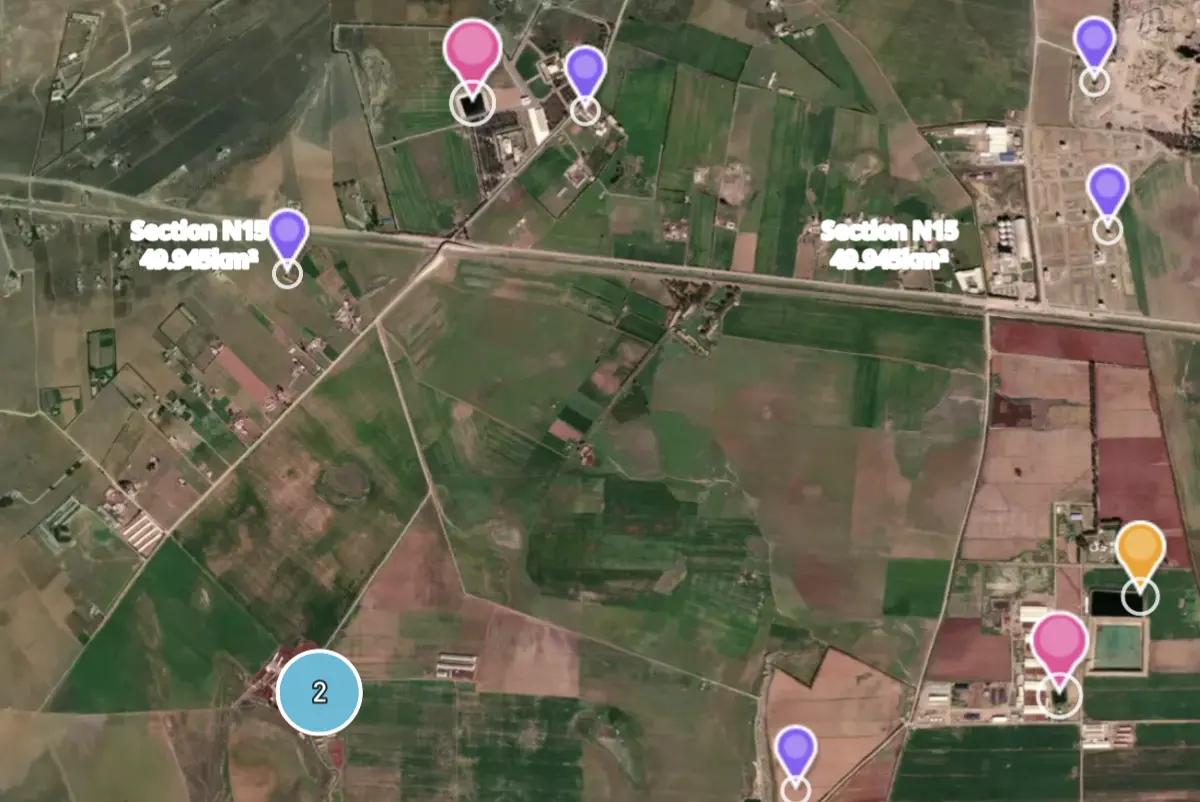
Custom Models Development
Our AI models are trained on Moroccan landscapes and climate, offering specialized detection tailored to each province's unique geography. Advanced machine learning provides precise monitoring adapted to regional needs.